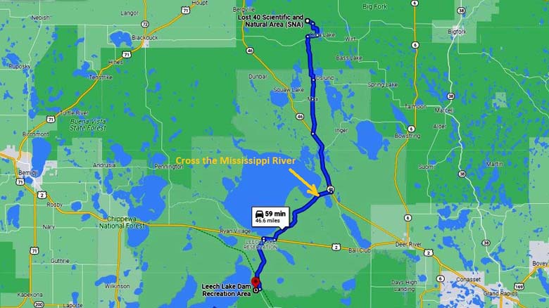
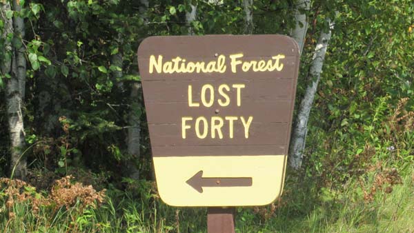
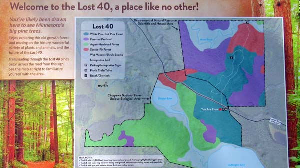
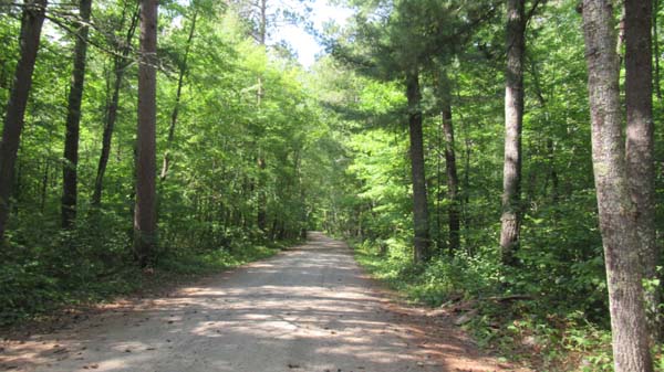
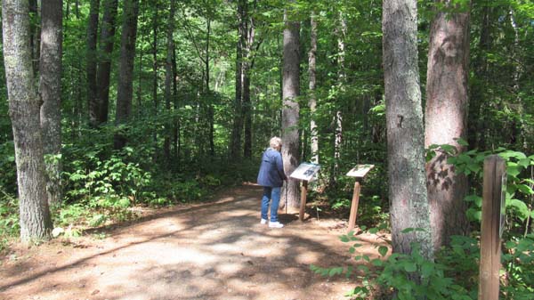
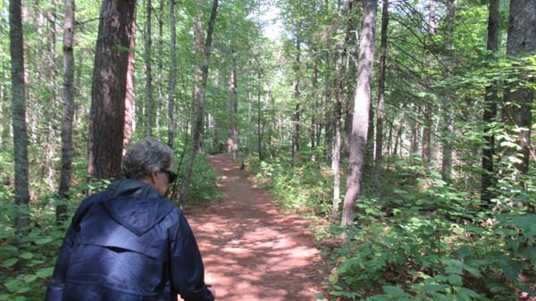
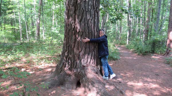
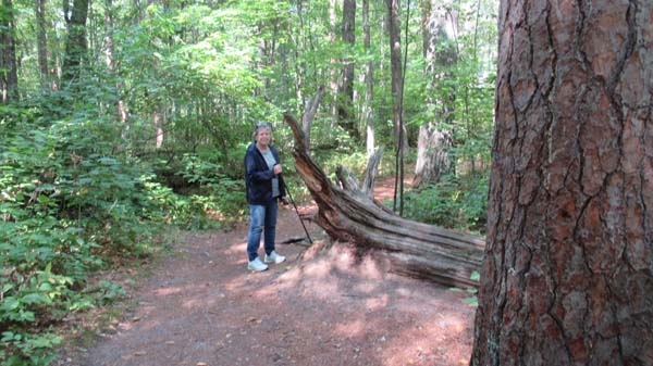
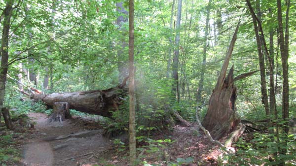
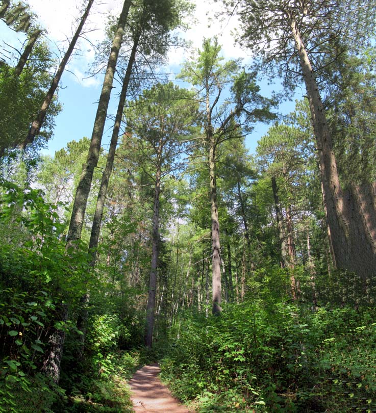
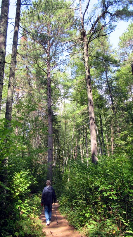
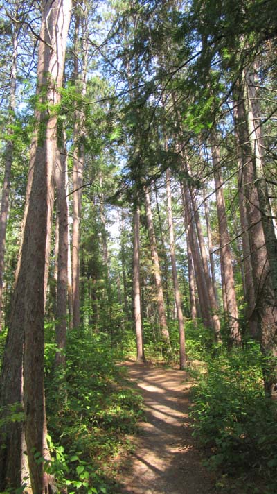
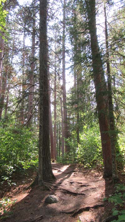
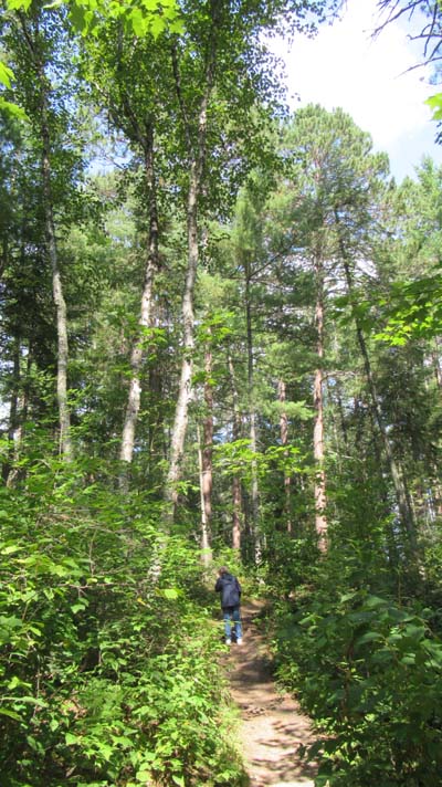
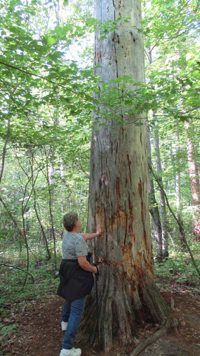
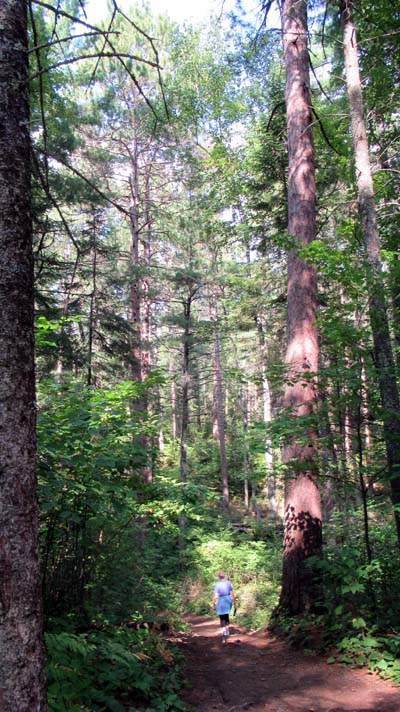
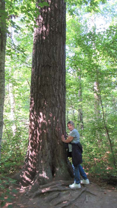
40_lost_map.jpg

Lost 40  (Be sure and watch the video on this link)

sanderson.png

Lost 40
Photo Page

31-Aug-2021

Next Photo Page

Previous Photo Page

2021 Summer Adventure Travel Log

Other Travel Adventures

Send comments to gary@sanderson.net
 

31-Aug-2021   /   Lost 40  (Be sure and watch the video on this link)
images/photo_c8315128.jpg
One of the Rangers suggested that we should visit National Forest Lost 40. This land that contains "old-growth" red and white pine trees that date back as far as 350 years
images/photo_c8315061.jpg
An 1882 surveying mistake led the 40 acres to be accidentally mapped as a body of water, and subsequently left alone during Minnesota's logging craze.
images/photo_c8315064.jpg
The dirt/gravel road entering the Lost 40 area.
images/photo_c8315063.jpg
Several hiking trails were shown on the map. We chose the longer one at 1mi.
images/photo_c8315068.jpg
images/photo_c8315070.jpg
images/photo_c8315075.jpg
Peaches is standing beside the roots, of a fallen tree, but the top could be seen.
images/photo_c8315111.jpg
Trees that have fallen are only cut and moved to keep the trail open.
images/photo_c8315078_stitch.jpg
images/photo_c8315077.jpg
images/photo_c8315090.jpg
images/photo_c8315092.jpg
images/photo_c8315094.jpg
images/photo_c8315113.jpg
images/photo_c8315096.jpg
images/photo_c8315103.jpg

31-Aug-2021   /   Driving back we crossed the Mississippi on RT-2 about 123mi from the starting point.
images/photo_c8315130.jpg
images/photo_c8315131.jpg
Previous Photo Page        Next Photo Page        Top of Page Last Updated: 1-Sep-2021
Copyright © 1997-2021, Gary Sanderson, All Rights Reserved