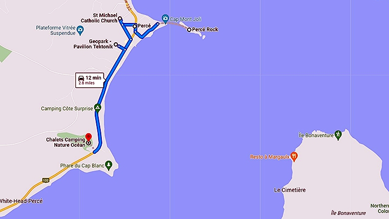
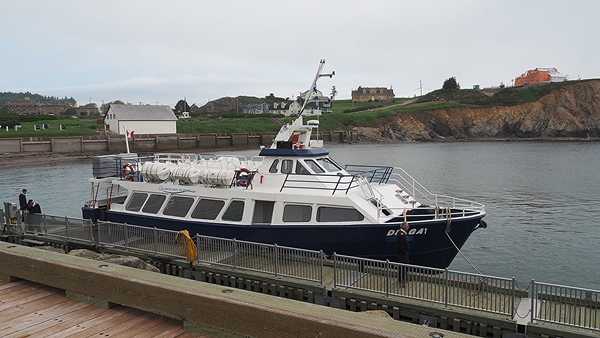
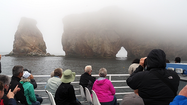
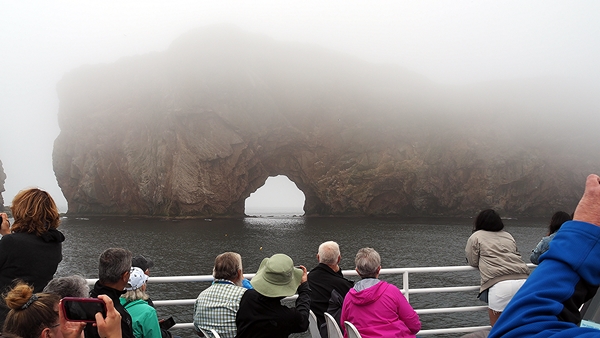
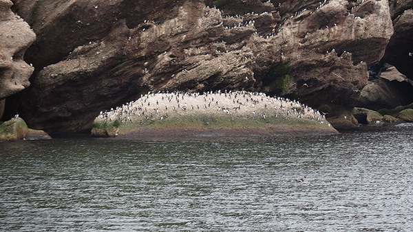
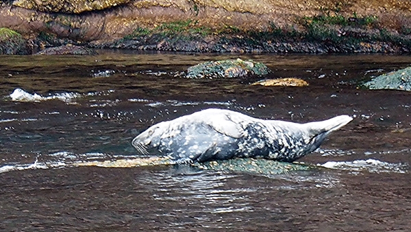
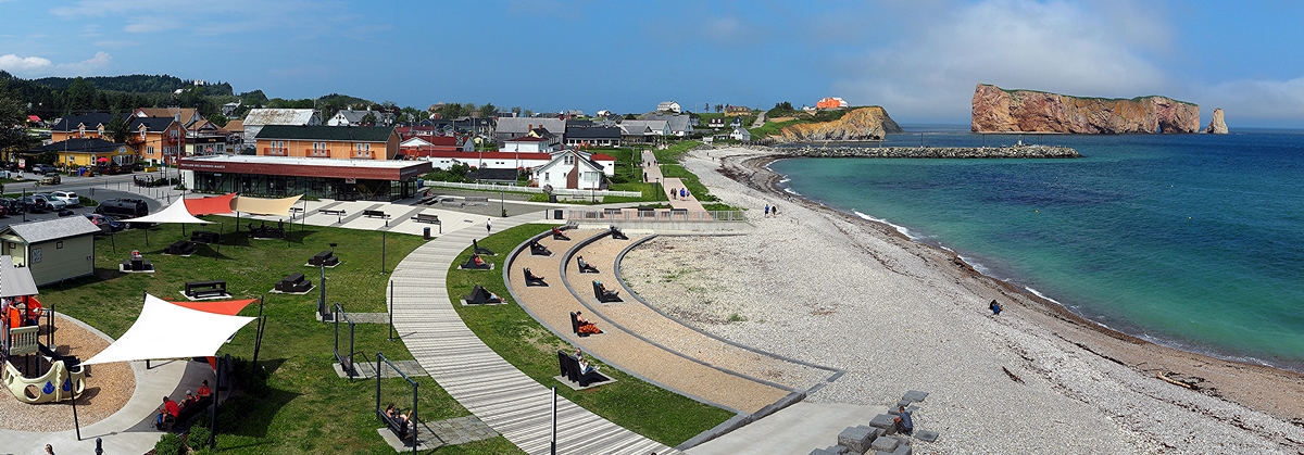
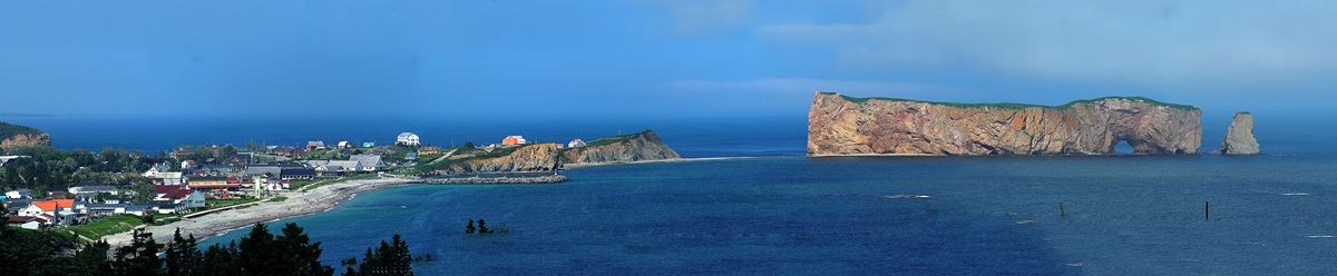
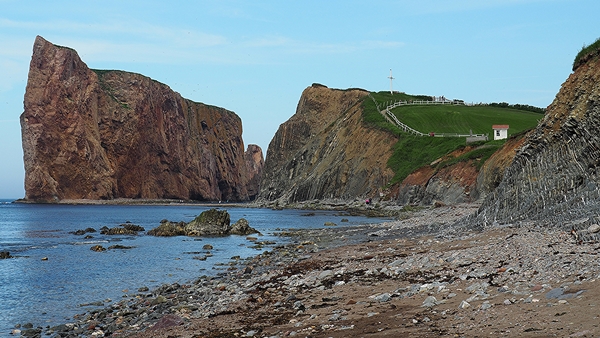
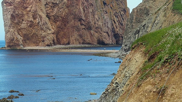
Boat Tour of Perce Rock and Bonaventure Island

|
Boat Tour of Perce Rock and Bonaventure Island |
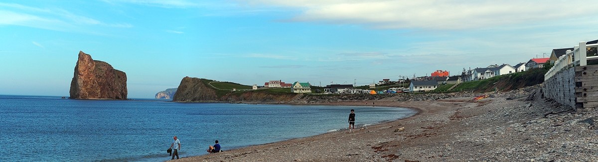
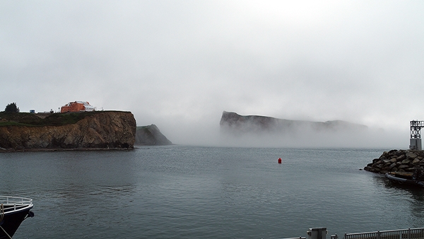
Perce Rock and Bonaventure Island
|
 |
|
|
|
 |
 |
|
|
|
 |
 |
|
|
|
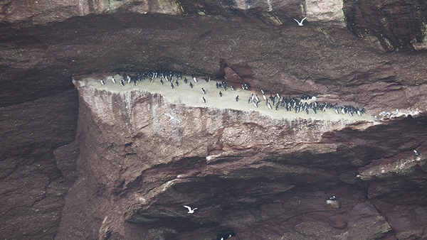
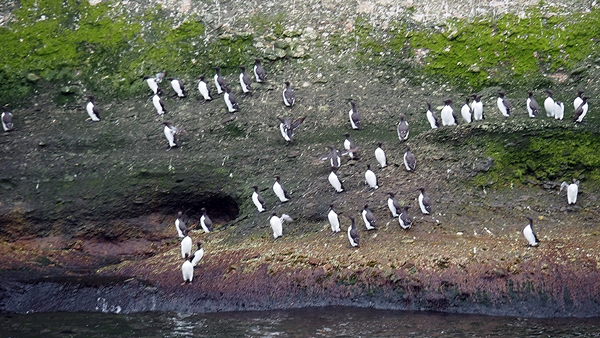
| The bird population of one species is the largest known in the world. |
|
 |
 |
 |
 |
 |
 |
|
|
|
 |
|
 | |
|
|
|
 |
 |
|
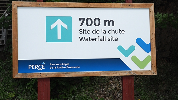
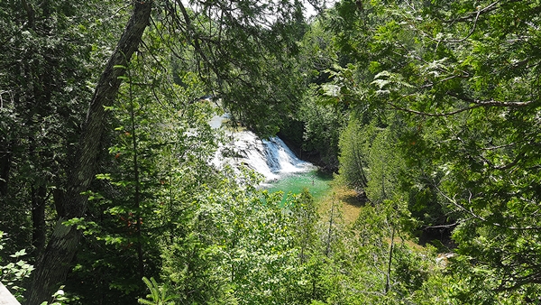
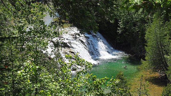
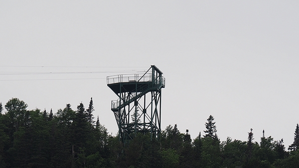
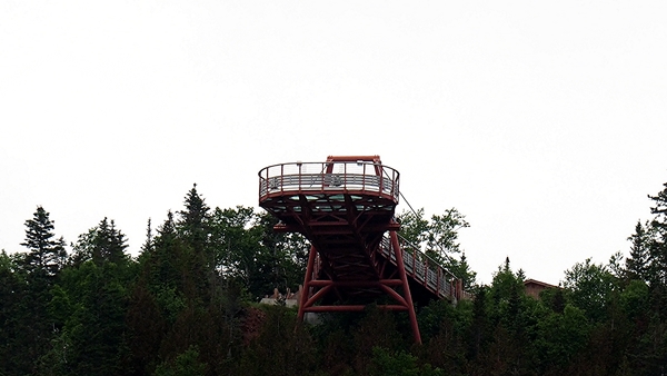
For a better view there is a 140 step flight of steps down to the base of the Falls. |
|
 |
 |
|
|
|
 |
 |
 |
 |
|
|
|
|
 |
 |
|
|
|
 |
 |
 |
 |
|
|
| Previous Photo Page Next Photo Page Top of Page |
Last Updated: 25-Oct-2023 Copyright © 1997-2023, Gary Sanderson, All Rights Reserved |