images/230802_Map.jpg

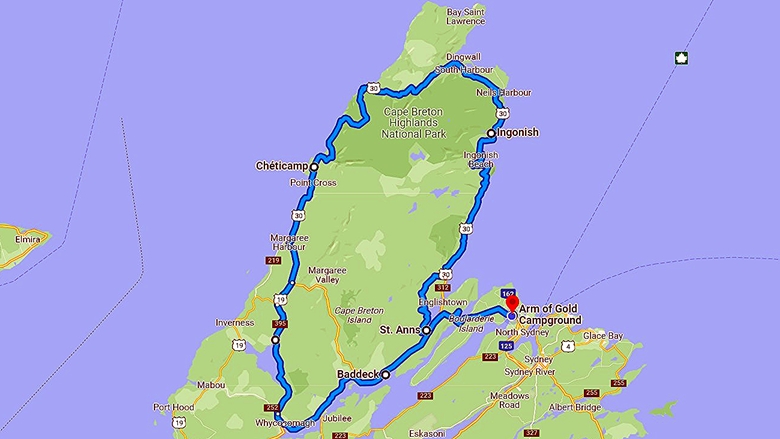
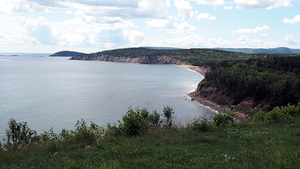
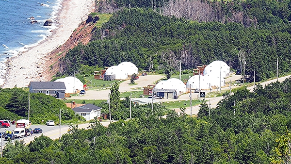
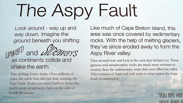
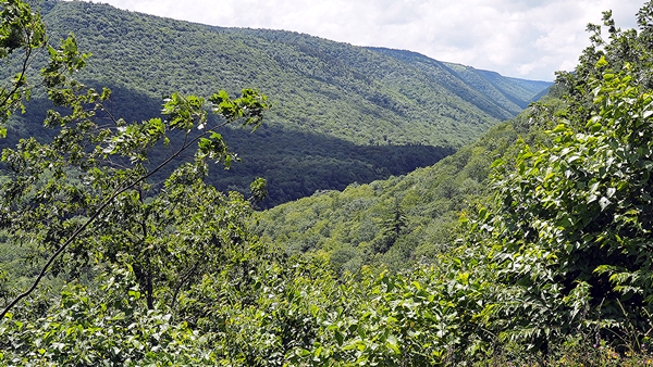
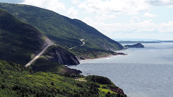
Drive The Cabot Trail on Cape Breton Island, NS, 185 miles, 7 hr.

sanderson.png

Drive The Cabot Trail, NS
Photo Page

02-Aug-2023

Next Photo Page

Previous Photo Page

Trip Log

Other Travel Adventures

02-Aug-2023   /   The Cabot Trail
images/230802/P8026469.jpg
images/230802/P8026470.jpg
images/230802/P8026471.jpg
images/230802/P8026472.jpg
images/230802/P8026480.jpg
We had just driven past this motel on the beach now we see it from above.
images/230802/P8026474.jpg
At the Aspy Fault we saw how this area was formed.
images/230802/P8026475.jpg
This is a view of the fault line looking toward the North.
images/230802/P8026476.jpg
I turned around and saw that these rocks were more resistant to erosion.
images/230802/P8026477.jpg
images/230802/P8026478.jpg
This photo was taken directly over the story board looking West.
images/230802/P8026479.jpg
images/230802/P8026482.jpg
These two photos show the type of terrain the Cabot Trail follows.
images/230802/P8026483.jpg
images/230802/P8026484.jpg
At one of the overview locations I found this tribute to the Canadians killed in war.

The Cabot Trail is an interesting trail to follow.
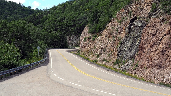
The roads are from good to rough. The road was very twisting and our ears were always poping due to the up's & down's.
It took much longer to drive than we expected. 7 hr rather than the 5-6 hr we were expecting.
Be sure that your gas tank is more than 1/2 full as the service stations are few and far between.

       Previous Photo Page        Next Photo Page        Top of Page        Last Updated: 25-Oct-2023
Copyright © 1997-2023, Gary Sanderson, All Rights Reserved